
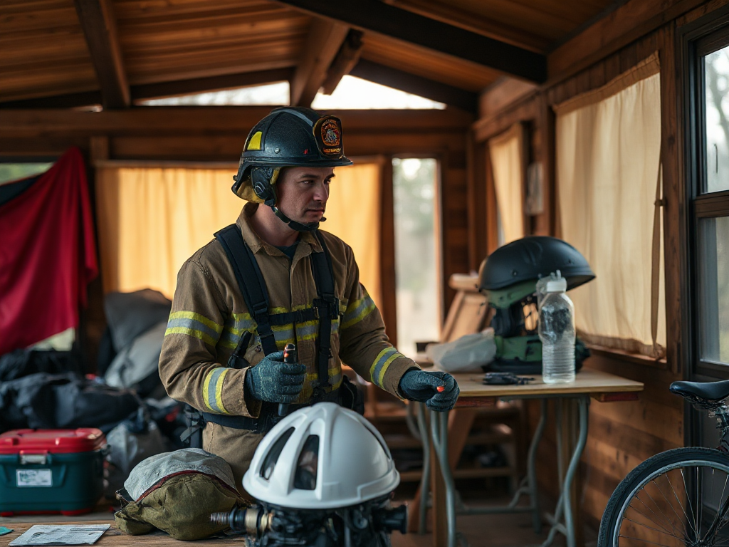
Prepare for roads that may close quickly by deciding your departure trigger, checking official alerts and traffic conditions, and keeping a fueled vehicle pointed toward a viable route. Pack medications, water, food, warm layers, chargers, identification, and essential pet or child items before conditions worsen. Treat route information as temporary: closures can follow flooding, wildfire, blizzards, landslides, crashes, or damaged bridges, and a familiar road may become unsafe within minutes. Leave while authorities still recommend travel, identify at least two alternatives, and avoid driving through barricades or standing water. A practiced household plan reduces delays without assuming every road, shortcut, or evacuation destination will remain available.
Recognize the Conditions That Can Close a Road
Road closures can develop faster than many households expect because transportation depends on a narrow set of bridges, mountain passes, low-water crossings, and major intersections. Floodwater may cover pavement or weaken the roadbed; wildfire can produce smoke, falling debris, and changing evacuation boundaries; snow and ice can stop traffic on grades; and a collision or damaged utility line can block a route without much warning. The practical lesson is to treat a closure warning as a change in travel conditions, not merely an inconvenience.
Location matters as much as the hazard itself. A home near a river, canyon, forest, coastal causeway, or single access road has fewer tolerable delays than a neighborhood with several independent exits. Examine the roads you normally use and note where a detour would become impossible. A short route that crosses one bridge may be less dependable than a longer route using higher ground and multiple connecting roads.
Weather forecasts alone do not show whether a particular road is passable. Check local emergency management, transportation agencies, law enforcement notices, and official alert systems for closures, evacuation orders, and restrictions. User-submitted map reports may reveal congestion, but they can lag behind barricades or remain visible after conditions change.
A common failure is waiting for absolute certainty. People may continue normal errands because the road is open at the moment, then discover that fuel stations, bridges, or outbound lanes are unavailable. Another mistake is assuming a familiar shortcut is safer than a marked detour. During fast-moving hazards, official routing may account for crews, emergency access, smoke, flood depth, or road damage that a navigation app cannot interpret.
Set Departure Triggers Before Travel Becomes Risky
A usable departure plan converts changing information into a decision. Choose triggers in advance, such as an evacuation order, a direction from local officials, a road closure near your area, loss of a primary exit, or a forecast that makes the return trip unsafe. The trigger should specify who decides, where the household meets, and whether anyone leaves immediately or first completes a short safety check.
Timing requires judgment. Leaving too early may mean traveling through ordinary congestion or reaching a destination before it is ready; leaving too late can place you behind a long queue, low fuel, poor visibility, or a closed bridge. The better comparison is not “leave now or wait until danger is certain.” It is whether the remaining travel window is shrinking and whether your household can still depart safely if one route fails.
Write the plan in plain language. For example: “If officials order evacuation, we leave within fifteen minutes using Route A unless it is closed; then we use Route B and meet at the library outside the affected area.” Include a check for people who work away from home, children at school, older adults, mobility limitations, pets, and anyone who may need transportation. A plan that works only when every person is already at home is incomplete.
Practice the sequence once under normal conditions. Confirm that everyone knows where identification, medications, keys, and chargers are stored. The goal is not a theatrical drill; it is finding friction. A missing car seat, dead phone, blocked driveway, or uncertain pet carrier can consume the minutes you thought were available. Keep How to prepare when roads may close quickly connected to the wider household plan rather than treating departure as a vehicle-only task.
Build a Vehicle and Household Departure Kit
Departure supplies should cover the period between leaving home and reaching a safe destination, with extra attention to items that are difficult to replace on a closed or crowded route. Keep the vehicle mechanically ready: maintain adequate fuel, check tire condition, confirm lights and windshield visibility, and keep a physical key available if remote systems fail. A phone is useful, but it should not be the only source of directions or communication.
Pack supplies in containers that can be lifted quickly rather than scattered through closets. Water, ready-to-eat food, prescription medicines, first-aid basics, sanitation items, weather-appropriate clothing, blankets, flashlights, spare batteries, charging cables, and identification are practical starting points. Add infant supplies, mobility aids, eyeglasses, pet food and restraint equipment, or other items tied to the people traveling. Store copies of essential contact and insurance information securely, while keeping originals accessible.
Food selection involves a tradeoff. Heavy canned goods provide familiar calories but take space and may require an opener; compact shelf-stable foods are easier to carry but should match dietary needs and be acceptable without cooking. Water is bulky, so decide what remains in the vehicle, what can be carried, and what will be collected at the destination. Do not rely on finding supplies after departure when stores may close or fuel lines may be long.
Use a compact checklist to reveal omissions:
- Vehicle: fuel, tire check, charger, flashlight, basic tools, and paper map.
- People: medicines, documents, clothing, food, water, and personal-care items.
- Communication: contact list, battery bank, alert access, and a meeting location.
- Special needs: pet carriers, child restraints, mobility equipment, or medical devices.
The common mistake is building a large emergency cache that cannot be loaded quickly. A smaller, labeled departure bag beside the exit may be more useful than extensive supplies stored in separate rooms. Recheck medicines, food dates, batteries, clothing sizes, and seasonal needs on a regular schedule.
Use Routes, Alerts, and Backup Destinations Wisely
Route planning works best when it includes a primary route, a realistic alternative, and a destination outside the likely closure area. Trace each route on a paper map and identify bridges, tunnels, steep grades, fuel points, and places where traffic cannot turn around. A backup route is not useful if it merges with the primary route five miles later or depends on the same vulnerable crossing.
Navigation technology can assist with turn-by-turn travel, but it should not make the safety decision. Apps may route drivers onto private roads, unmaintained tracks, flooded pavement, or a road closed moments earlier. Compare the suggested path with official closure information and visible traffic controls. If signs, police directions, and the app disagree, follow authorized on-site instructions rather than attempting a shortcut.
Choose destinations with more than one option. A relative’s home may be appropriate if that person has agreed in advance and can accommodate the household, but an unconfirmed destination can create another crisis. Identify a second contact, a public shelter option, and a meeting point outside the threatened area. Tell a trusted person where you are going, but avoid broadcasting sensitive household details publicly.
Conditions may change after you leave. Stop only in safe, legal locations to reassess alerts; do not pull onto a shoulder near active emergency operations. If officials close the road ahead, turn around where directed and use the next verified route. Never drive through floodwater, around barricades, into smoke with poor visibility, or onto a road marked unsafe simply because other vehicles are proceeding.
A weak assumption is that the fastest route is the best route. During a rapid closure, reliability matters more than normal travel time. A longer road with higher ground, better visibility, and confirmed access may reduce exposure to a second closure. For a broader household checklist, use How to prepare when roads may close quickly alongside your local alert registration and transportation-agency resources.
Frequently Asked Questions
When should I leave if a road closure is possible?
Leave when officials direct evacuation or when delay is likely to remove a safe travel window. Do not wait for the road to become visibly blocked.
How many routes should a household plan?
Plan one primary route and at least one genuinely independent alternative. Confirm that they do not share the same bridge, canyon, or likely closure point.
Should I trust a navigation app during a fast closure?
Use it for assistance, not final judgment. Verify its route against official closure notices, traffic controls, and conditions visible on the road.
What should stay in the vehicle?
Keep water, ready-to-eat food, medicines, identification, chargers, lighting, weather-appropriate clothing, a first-aid kit, and a paper map available for rapid departure.
Is a full fuel tank necessary?
Maintaining a comfortable fuel margin reduces dependence on crowded or closed stations. The exact threshold depends on distance, vehicle range, weather, and local access.
Conclusion
Roads that may close quickly require decisions made before the warning becomes an immediate departure order. Identify the hazards and vulnerable crossings near your home, define clear triggers, keep a fueled and usable vehicle ready, and store essential items where they can be loaded without searching. Build route redundancy rather than relying on one familiar road or one navigation app. Official alerts and on-site directions should outrank convenience, shortcuts, and assumptions about normal travel times. Review the plan whenever household members, seasons, vehicles, or local road conditions change. A short practice run can expose missing medicines, inaccessible supplies, weak communication links, or a destination that was never confirmed. Those corrections are easier to make while roads remain open.